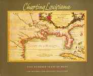


 CHARTING LOUISIANA: FIVE HUNDRED YEARS OF MAPS.
Alfred E. Lemmon, John T. Magill, and Jason R. Wiese, eds. John R. Hebert, consulting ed. New Orleans, 2003. Cloth.
Manuscript and printed maps from the 16th through the 20th centuries, many rarely seen, are gathered and glossed in this handsome large folio volume, which includes six scholarly essays on Louisiana history. $95.00
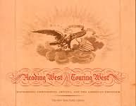
 HEADING WEST, TOURING WEST. Mapmakers, Performing Artists, and the American Frontier.
Alice C. Hudson and Barbara Cohen-Stratyner. New York, 2001. Paper.
Based on two exhibitions at The New York Public Library, this volume addresses two narratives of Western settlement; the maps which charted the new territory, and the ephemera of the touring performers who entertained the settlers. The book is illustrated with many contemporary maps, prints, and photographs. $22.50
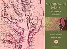
 VIRGINIA IN MAPS. Four Centuries of Settlement, Growth, and Development
Richard W. Stephenson and Marianne M. McKee, eds. Richmond, 2000. Cloth.
Massive in size, scope, and scholarship, this volume will prove essential for scholars of Virginia mapping. Includes a chapter by Donald H. Cresswell, co-founder of The Philadelphia Print Shop, Ltd. $95
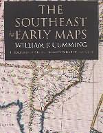
 THE SOUTHEAST IN EARLY MAPS
William P. Cumming and Louis De Vorsey, Jr. Chapel Hill, 1998. Cloth.
The long awaited third edition of Cumming’s seminal cartobibliography on maps of the American southeast. Expertly revised and significantly enlarged by Louis De Vorsey, with the addition of new maps, more illustrations, and a excellent article, “American Indians and the Early Mapping of the Southeast.” This book is a must for anyone interested in maps of the southeast. $90.00
![]()

©The Philadelphia Print Shop, Ltd. Last updated September 5, 2018